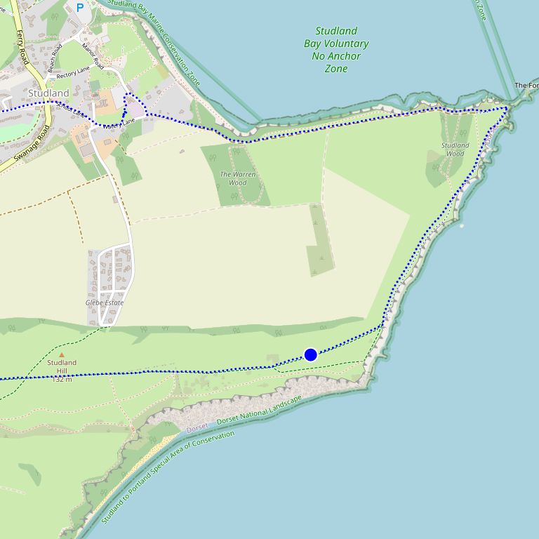
Studland,


×
![]()
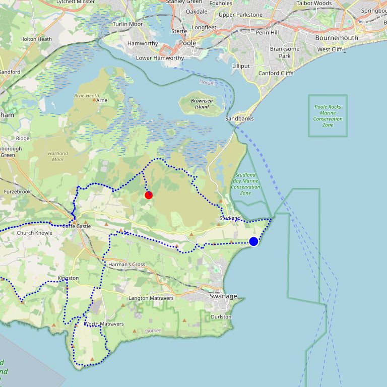
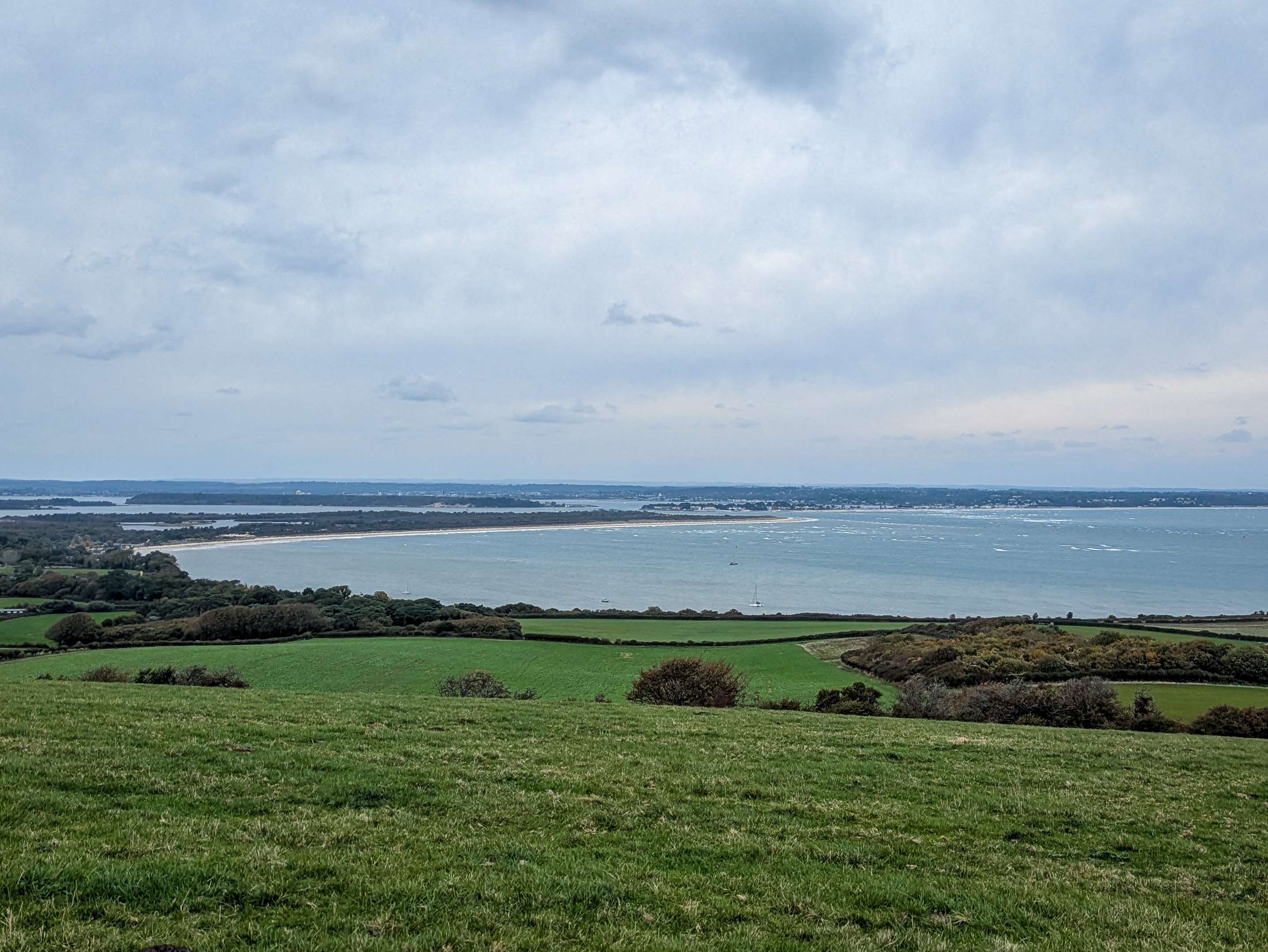
Up on the top of the Ballard Down ridge, capturing a good chunk of Poole Harbour.
Stats
The following table shows information about the point the photo was taken.
| Distance | 37.35mi (60.11km) |
| Elevation | 5835ft (1778m) |
| Total Time | 7 hours 51 minutes |
| Stopped Time | 21 minutes |
| Moving Pace | 11:59/mi (07:27/km) |
And here is the cumulative data for the whole adventure so far.
| Distance | 37.35mi (60.11km) |
| Elevation | 5835ft (1778m) |
| Total Time (during days) | 7 hours 51 minutes |
| Stopped Time (during days) | 21 minutes |
| Moving Pace | 11:59/mi (07:27/km) |