Half the Path
Half the Path in 24 photos: 226.9 miles over 8 days, 4–14 Sept 2021. Tap a photo to see where it was on the map and how far in I was.
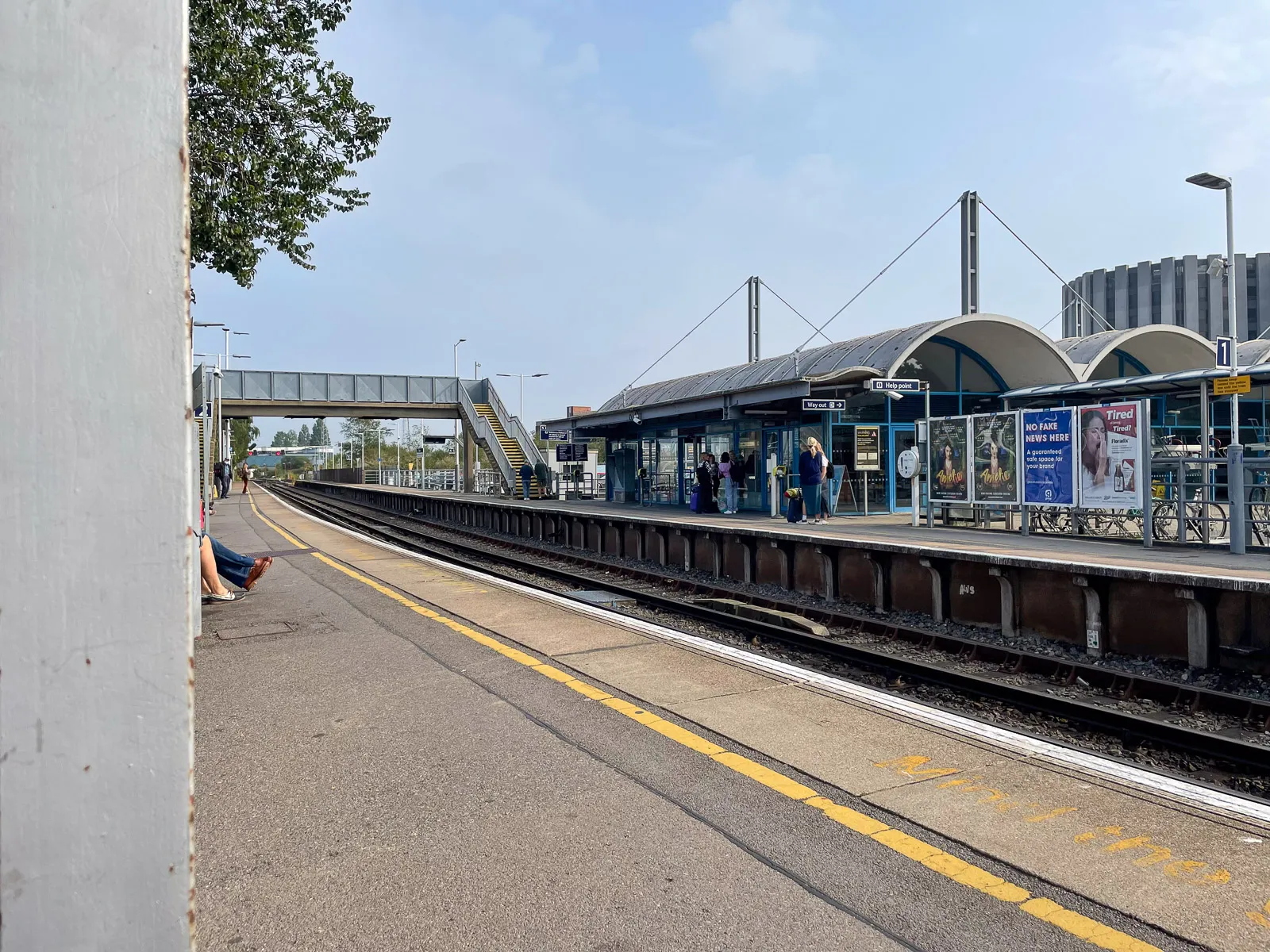 Sat, 4 Sept 2021 · 09:53Poole station
Ah, lovely Poole train station. Isn't it a delight! I remember in the 80's... or was it the 90's?... when the old brick block was demolished and replaced with a shiny new and exciting building.
Anyway, this is where everything began, waiting for a train to Dorchester so I could begin the arduous journey all the way to Minehead.
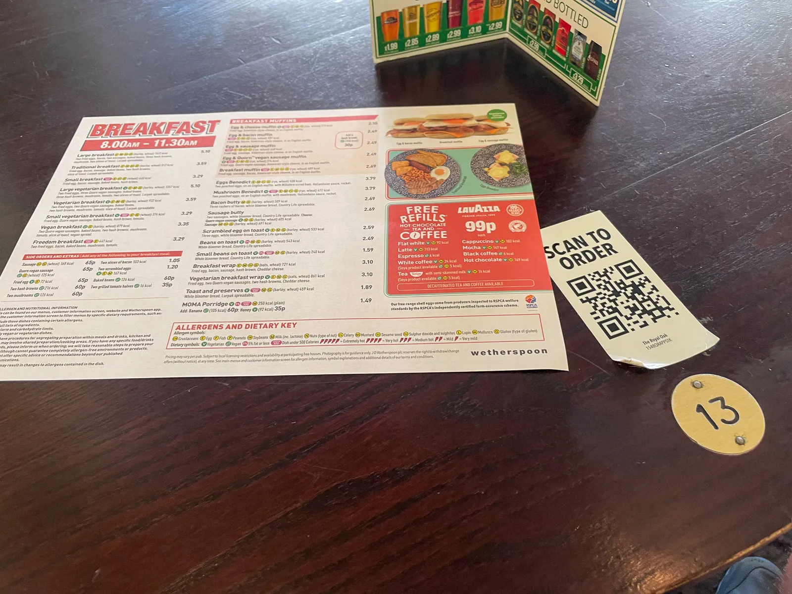 Sat, 4 Sept 2021 · 10:46Dorchester
One cannot consider an endeavour such as walking the South West Coast Path without enough sustenance. So I headed straight for the mecca of fine food and beverages that is Wetherspoons, and randomly picked a table. Now that I look at the number, I wonder if I chose wisely…?
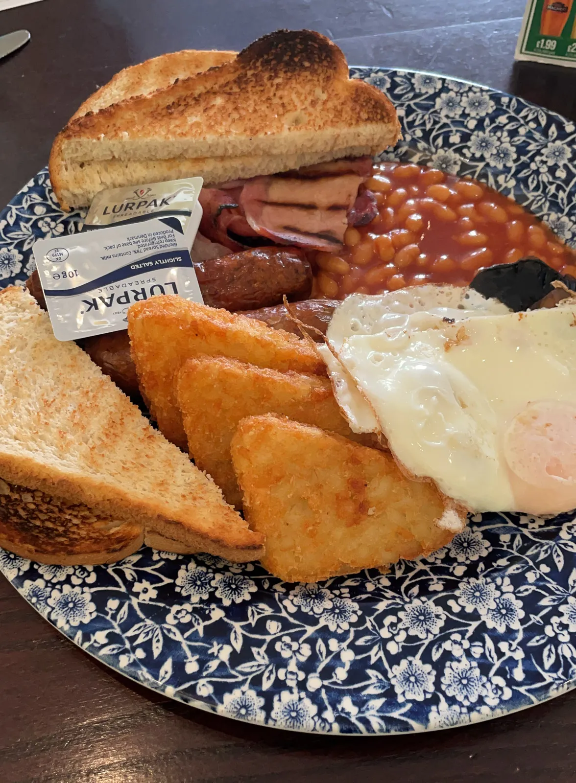 Sat, 4 Sept 2021 · 10:50Travel Day
I'm pretty sure you didn't need to see my breakfast, but here it is anyway: 2021 vintage Wetherspoons Big Breakfast.
I hadn't done much at this point, but I was planning on burning quite a few calories, so for once, I didn't feel an ounce of guilt devouring this plate.
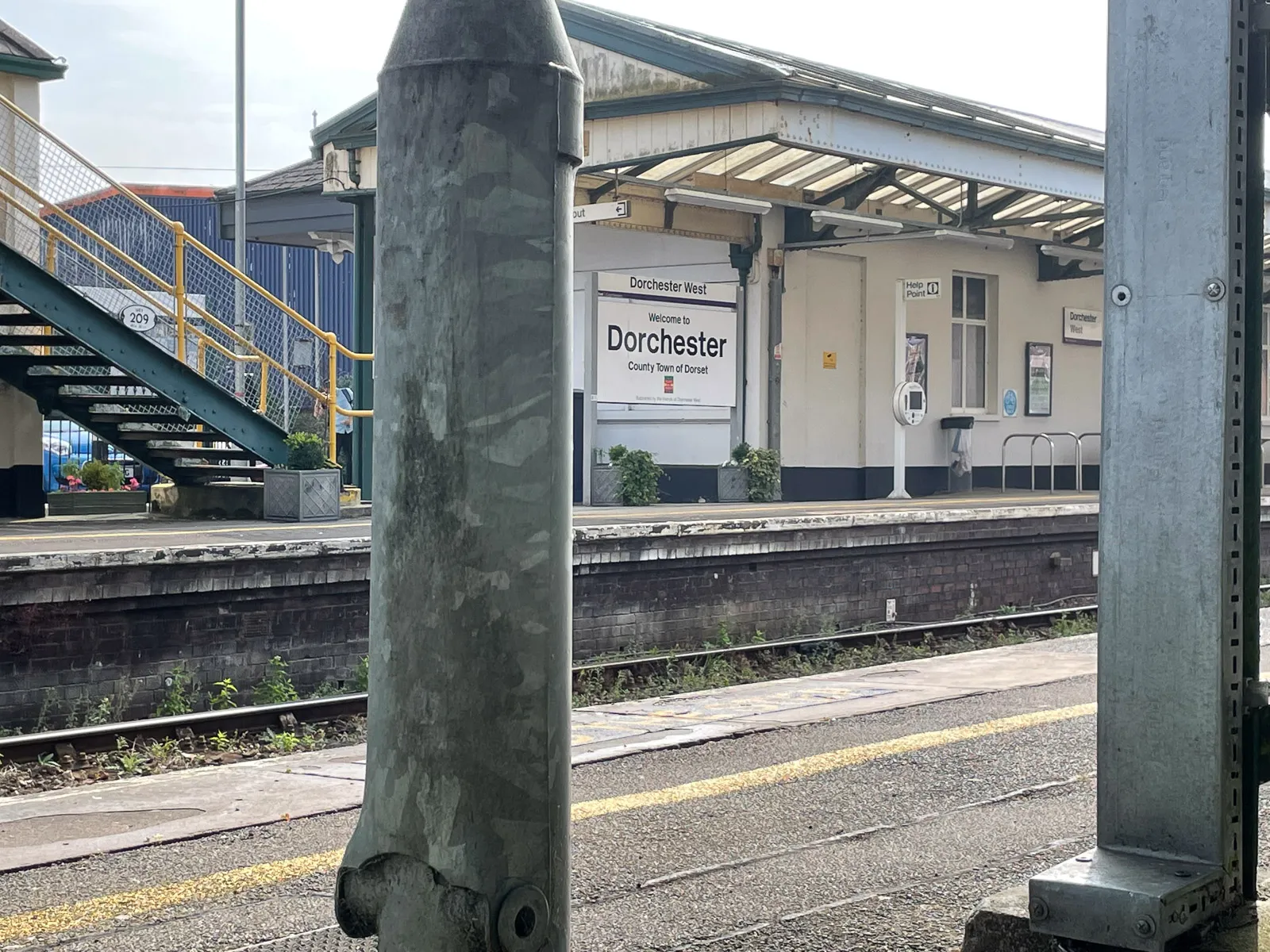 Sat, 4 Sept 2021 · 11:13Dorchester West station
I then headed to what the Telegraph once described as “one of the worst stations in Great Britain” – Dorchester West. I think it’s had a lick of paint since 1989, so now it looks slightly less terrible and slightly more characterless. Still, it’s somewhere to wait for your train to be late.
 Sat, 4 Sept 2021 · 12:38Castle Cary station
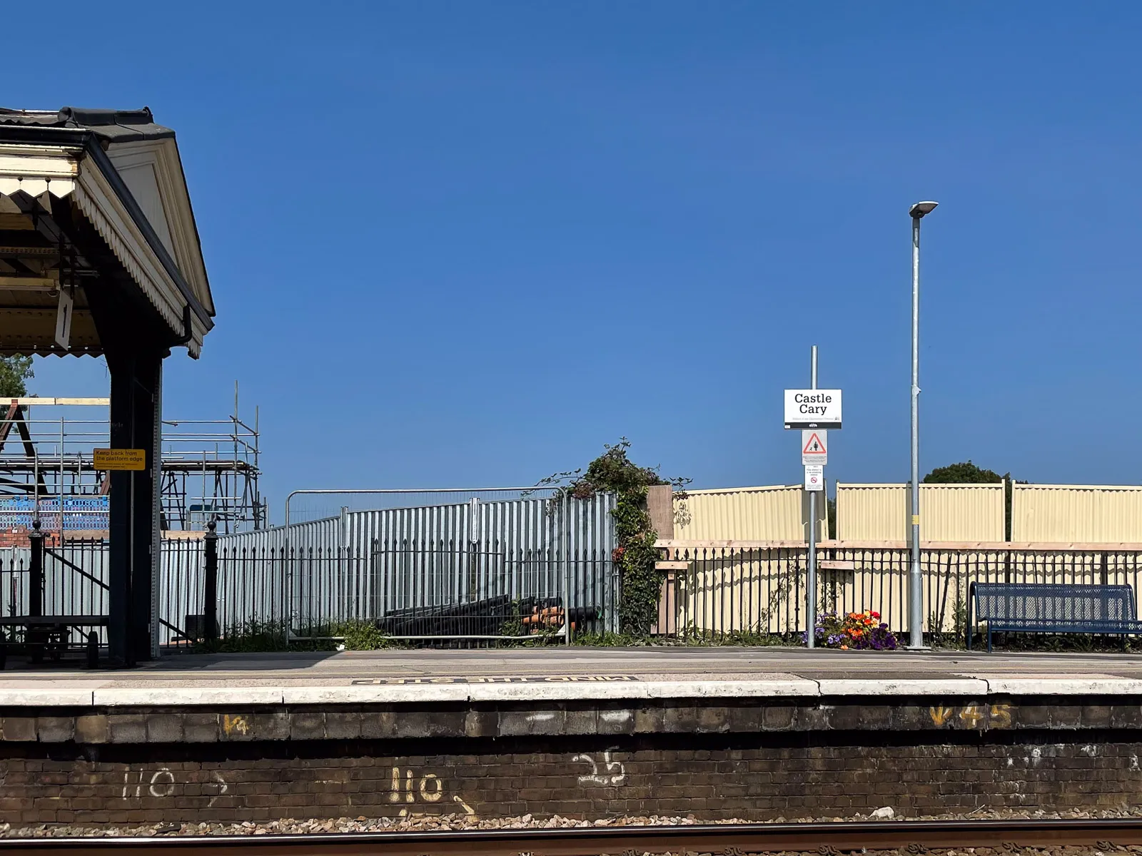
People start drinking early in Castle Cary. Saturday, midday, and there’s already at least 4 people somewhat worse for wear in the brick shelter behind me. In terms of station aesthetics, they’ve pushed the boat our here with not one, but two planters and some colourful flowers to draw your eye away from the metal fencing and scaffolding.
 Sat, 4 Sept 2021 · 13:24Taunton
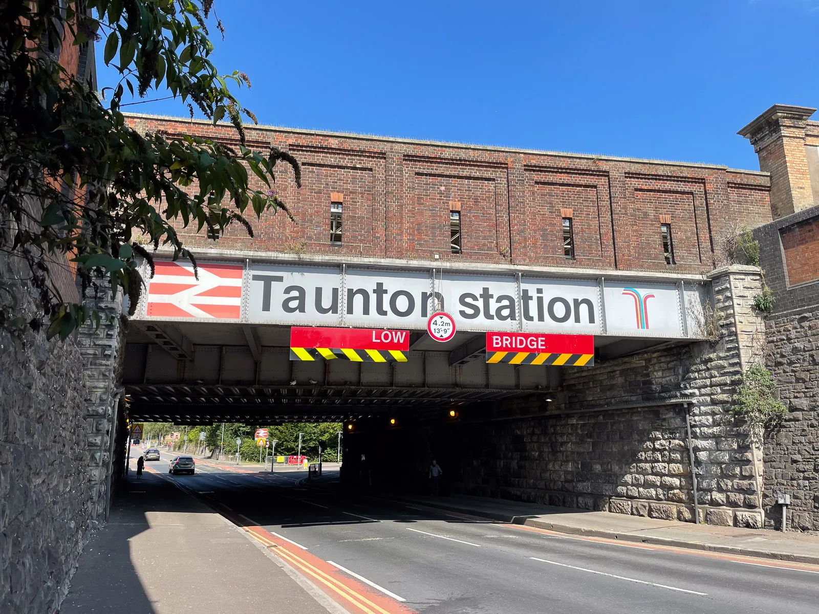
Can you guess where this is?
I spent a little while standing pretty much here, waiting for the bus to Minehead to arrive. It was fun doing a bit of people watching, although the footpath was narrow and I couldn't quite make my mind up as to where best to place my massive rucksack so as not to be in the way, which did detract from the moment a little.
 Sat, 4 Sept 2021 · 15:43Minehead
The bus stop in Minehead was about 50 metres from the hotel. My epic sense of direction guided me swiftly in the wrong direction so it took me about 10 minutes to find the hotel. Skills.
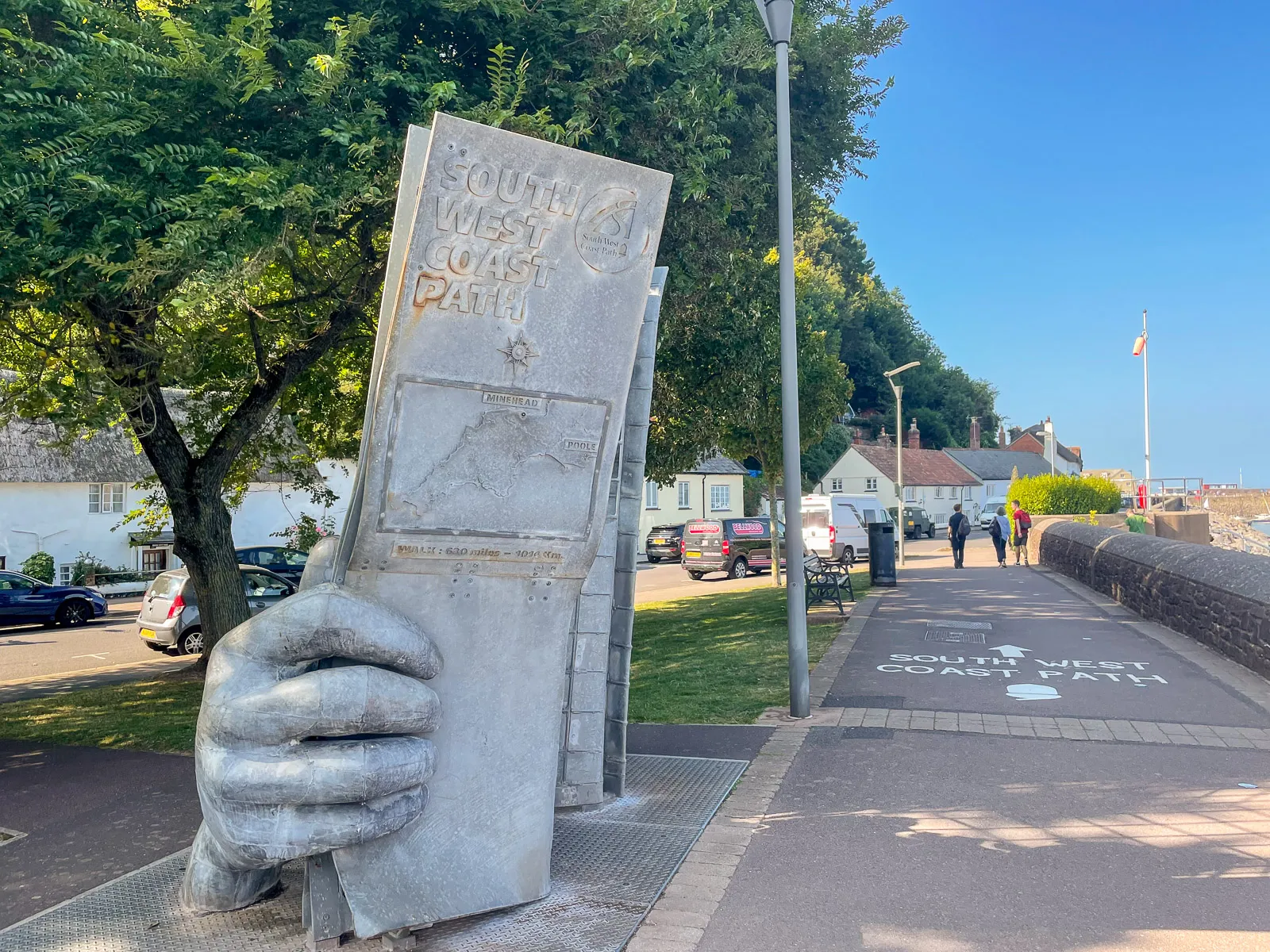
I dumped my bag in the room, went wandering for supplies and found this old piece of metal on the coast. I wonder what it’s for?
 Day 1 · Sun, 5 Sept 2021 · 06:13Minehead
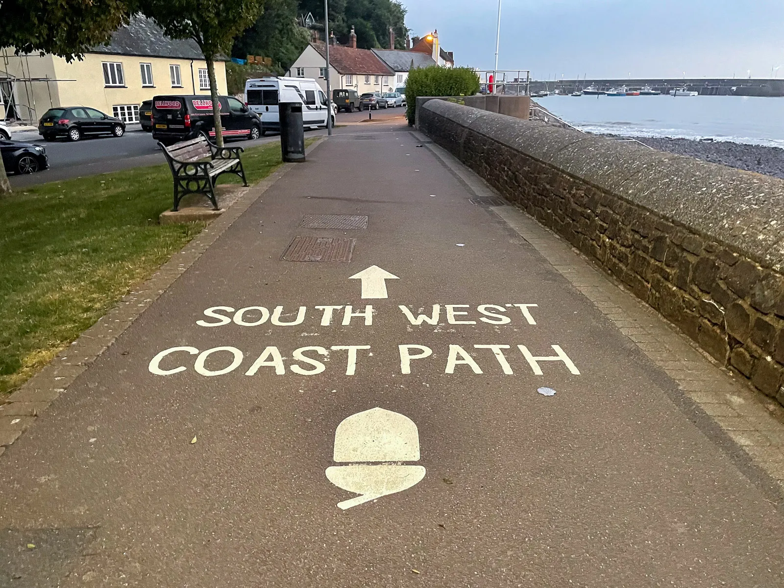
Painted on the ground of the seafront in Minehead is a subtle guide for helping people with no navigation skills (like me) get going on the South West Coast Path. 630 miles away, over many lumps and bumps, lies Poole.
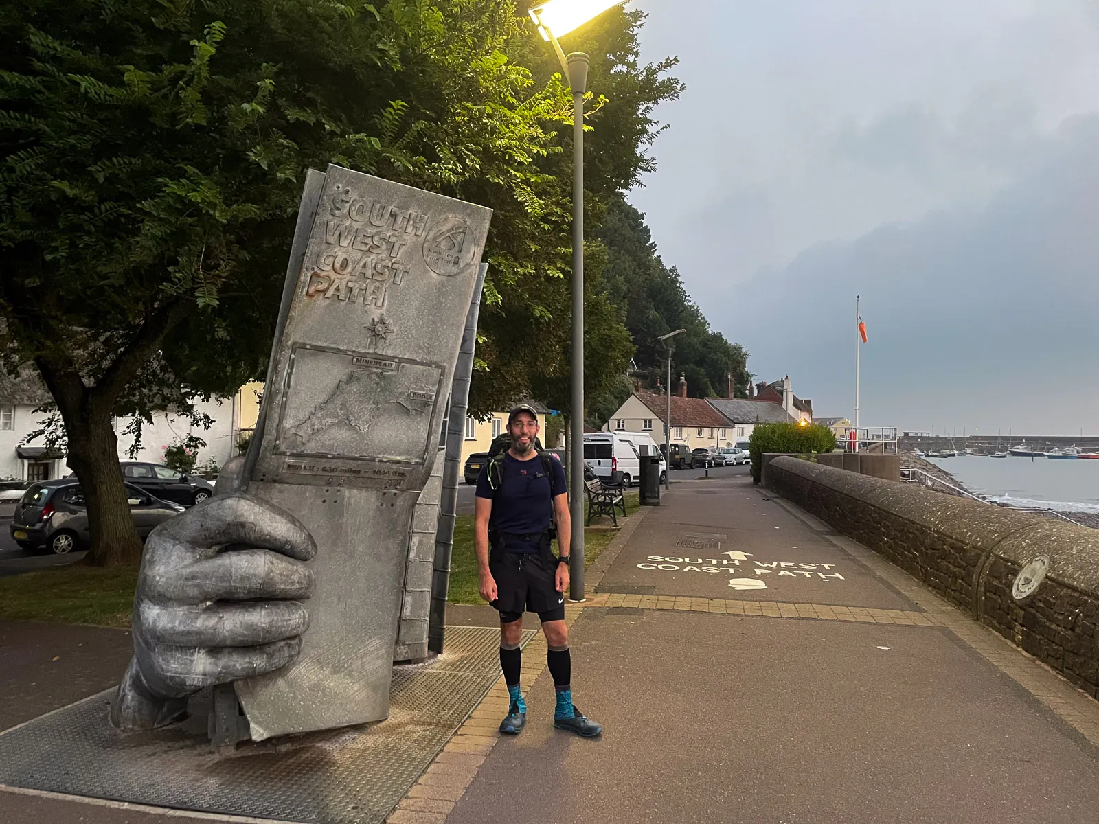 Day 1 · Sun, 5 Sept 2021 · 06:15Minehead
Some idiot standing on a path in Minehead at 6 o’clock on a Sunday morning!
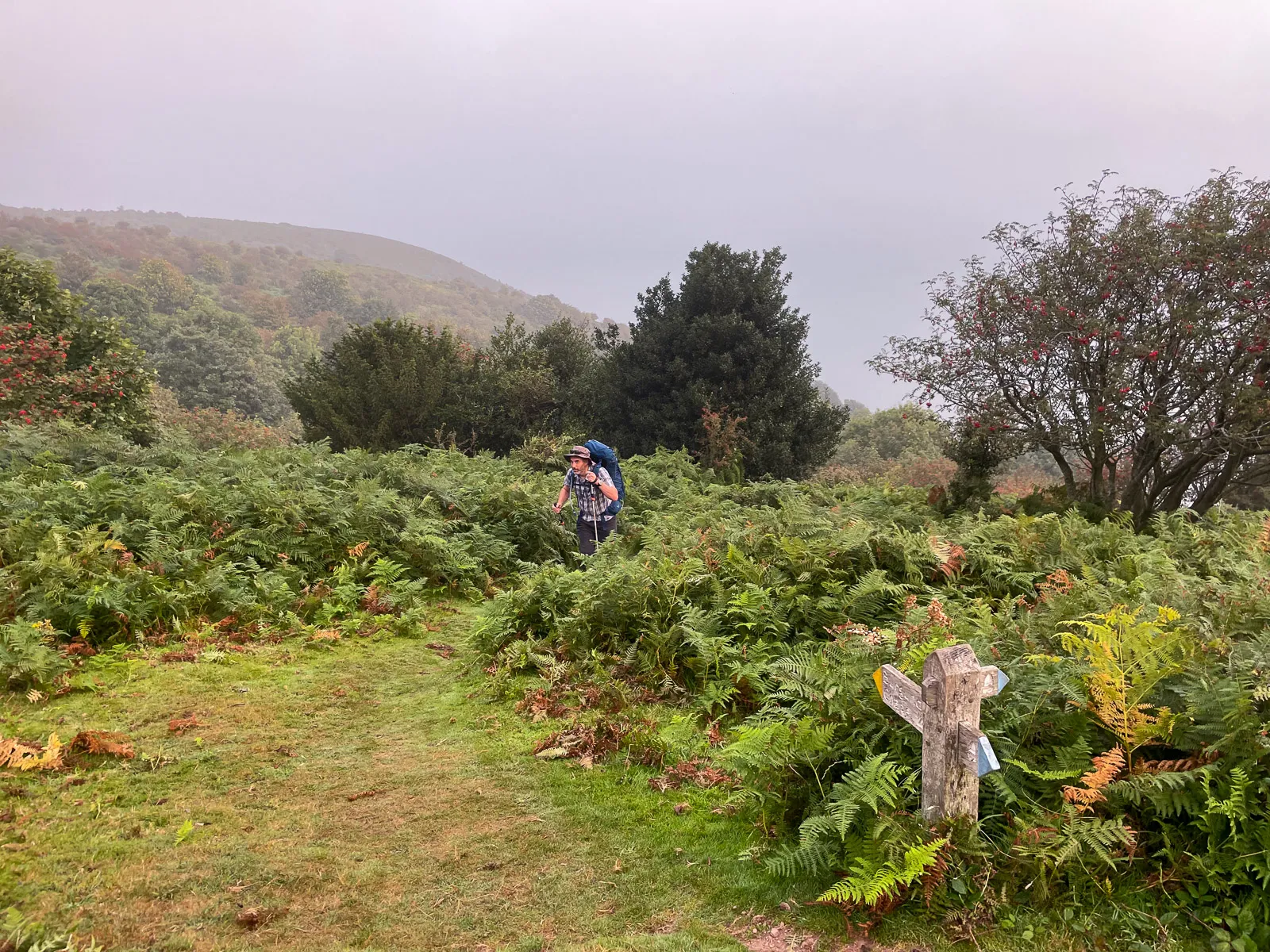 Day 1 · Sun, 5 Sept 2021 · 07:07North Hill, Minehead
Within 30 minutes, we’d gone the wrong way and had to puff our way up a cheeky little hill, popping out the top from a bunch of ferns to get back on the path.
2.2 miinto the day2.2 miof 226.9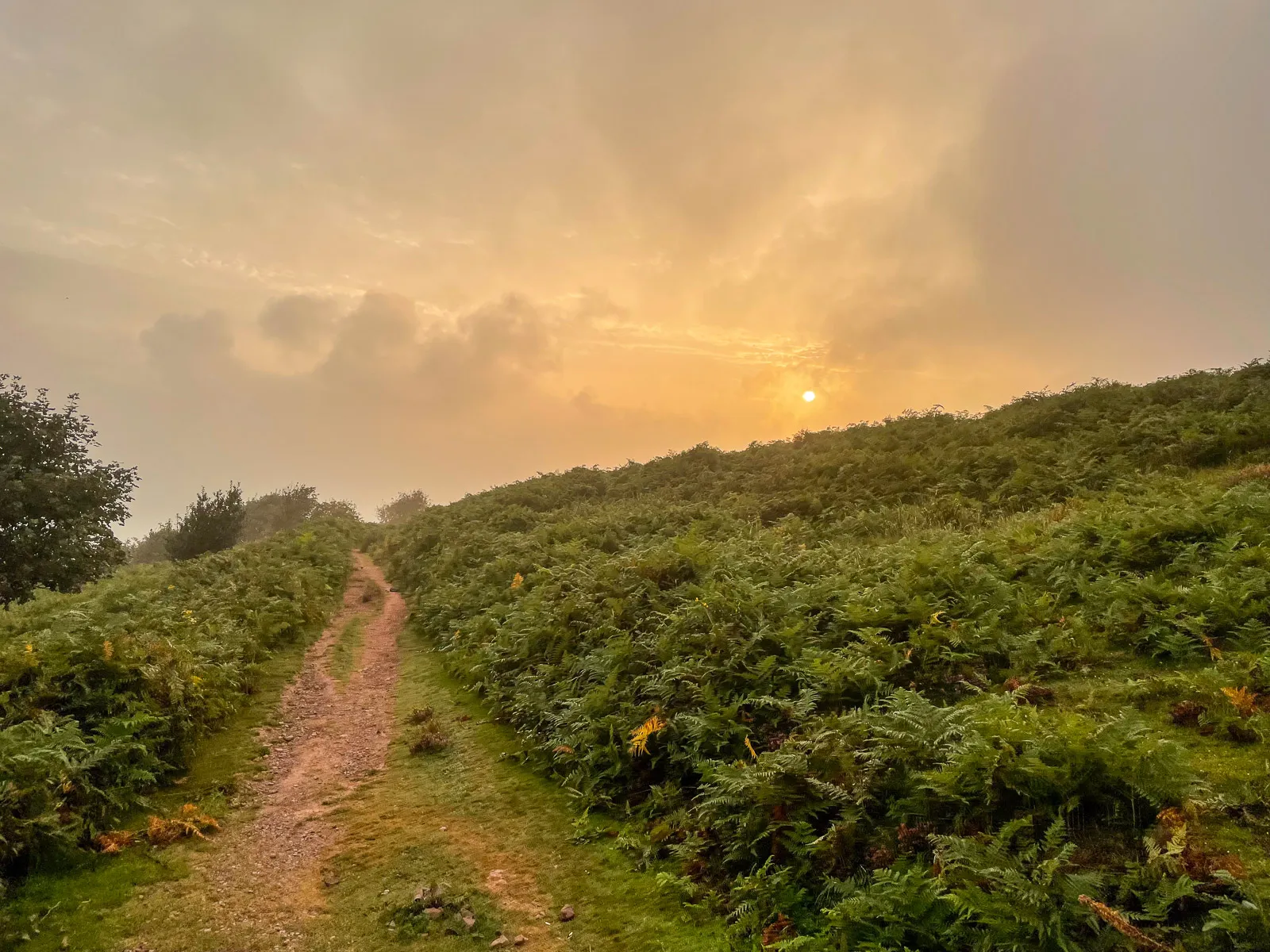 Day 1 · Sun, 5 Sept 2021 · 07:07North Hill, Minehead
The moorland landscape here was open with lots of knee level ferns either side of the grassy and stony path.
2.2 miinto the day2.2 miof 226.9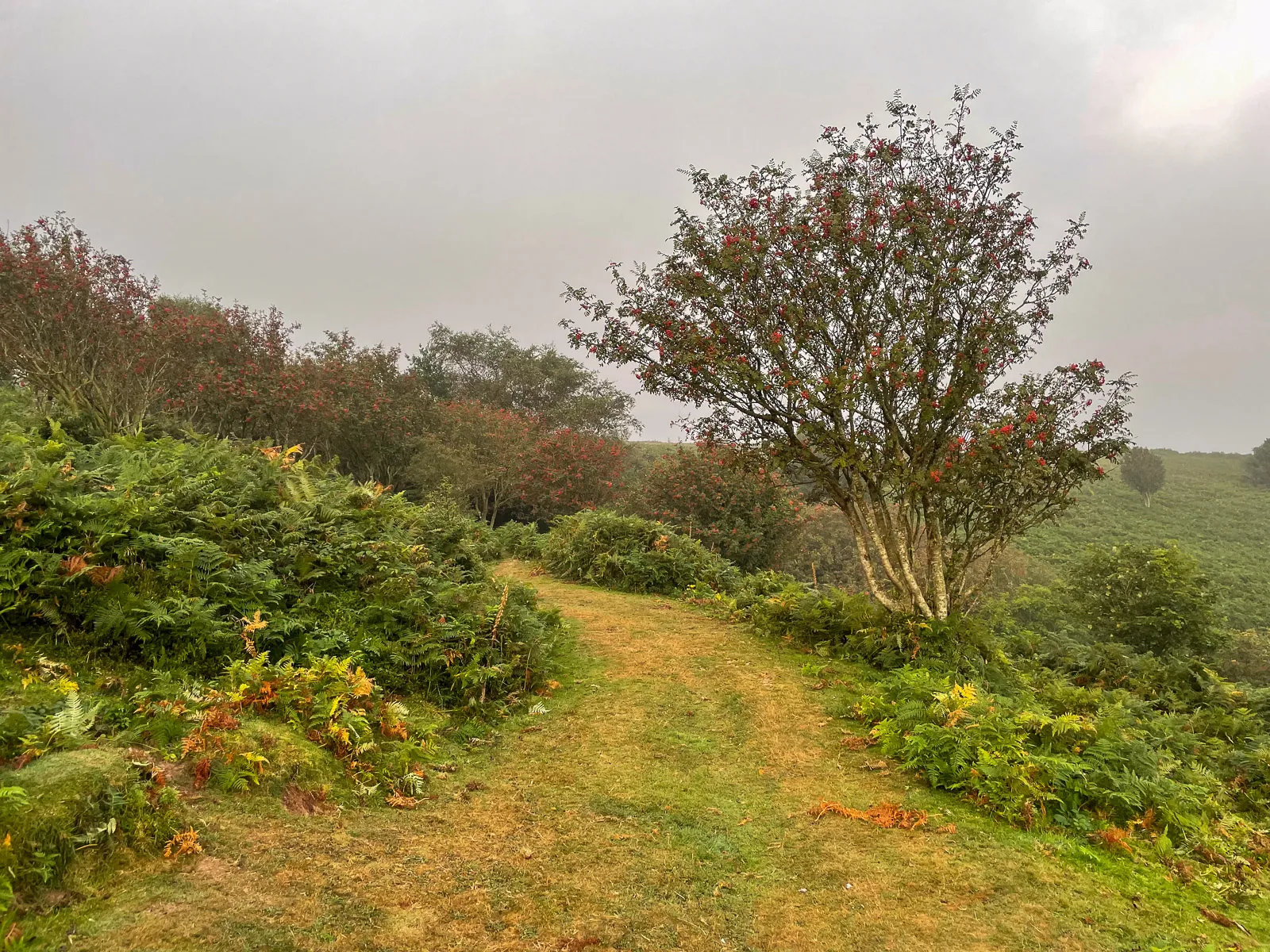 Day 1 · Sun, 5 Sept 2021 · 07:07North Hill, Minehead
The sky was hazy, keeping the temperature down and leading to some decent looking skies at points through the morning.
2.2 miinto the day2.2 miof 226.9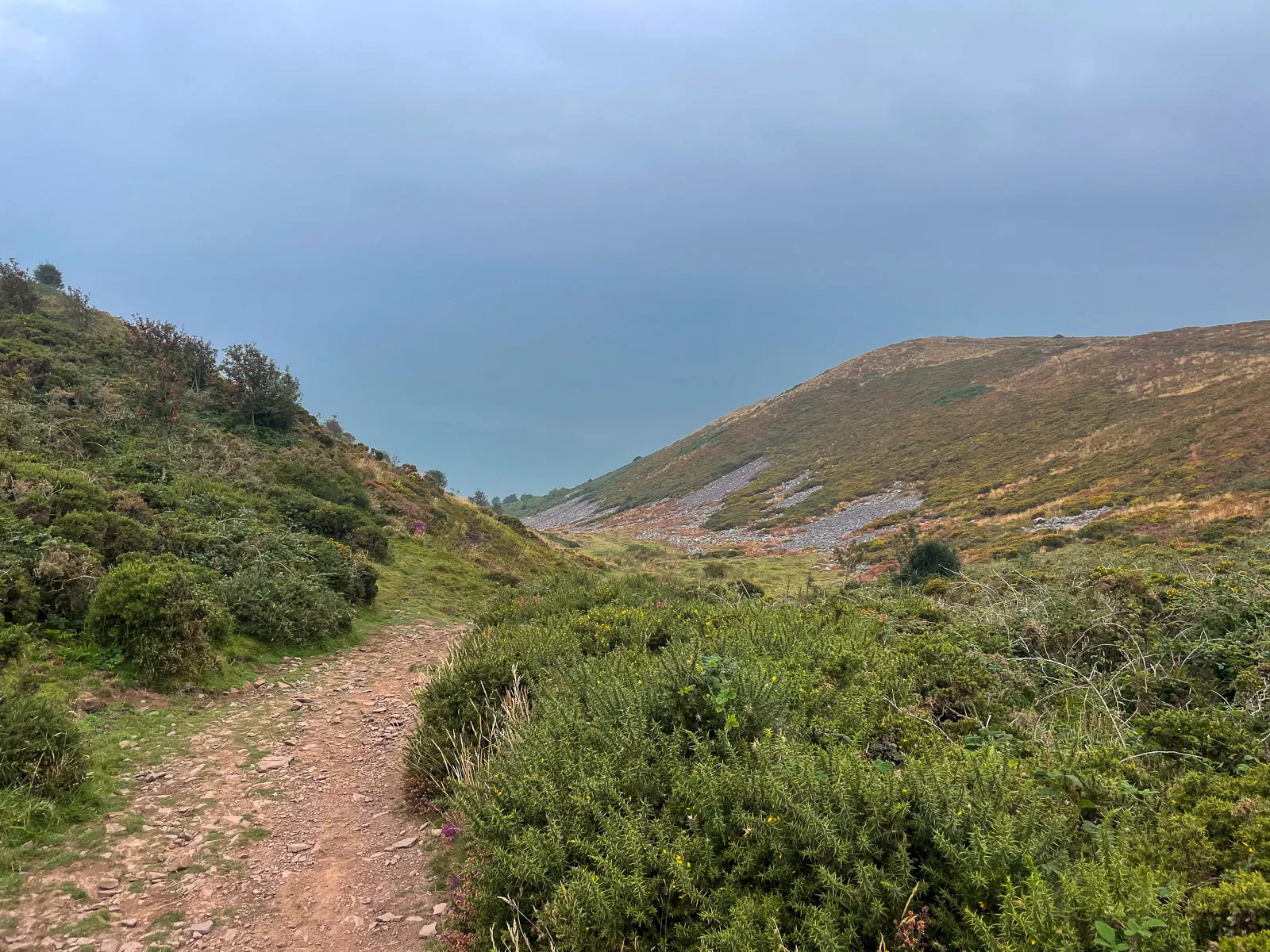 Day 1 · Sun, 5 Sept 2021 · 08:03Bossington
Near to Bossington we climbed to the top of the hill, with views to the sea along shale-lined valleys.
5.3 miinto the day5.3 miof 226.9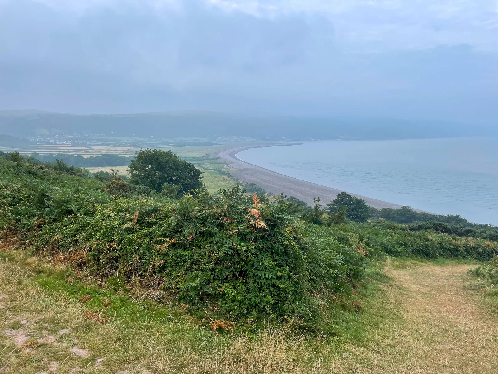 Day 1 · Sun, 5 Sept 2021 · 08:11Bossington
Over the brow of the hill, we got a great view of Bossington Beach and Porlock Weir in the distance.
5.6 miinto the day5.6 miof 226.9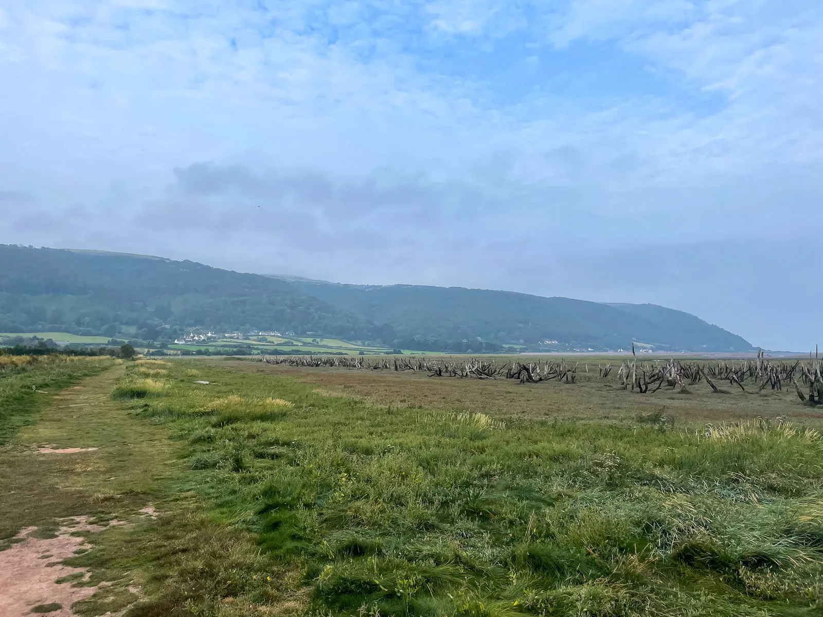 Day 1 · Sun, 5 Sept 2021 · 08:47Porlock
Once at the bottom of the hill, towards the sea are salt marshes, formed when the sea breached an 8,000 year old shingle barrier. The trees didn’t survive the change to salt water, and stand like skeletons rising out the ground.
7.6 miinto the day7.6 miof 226.9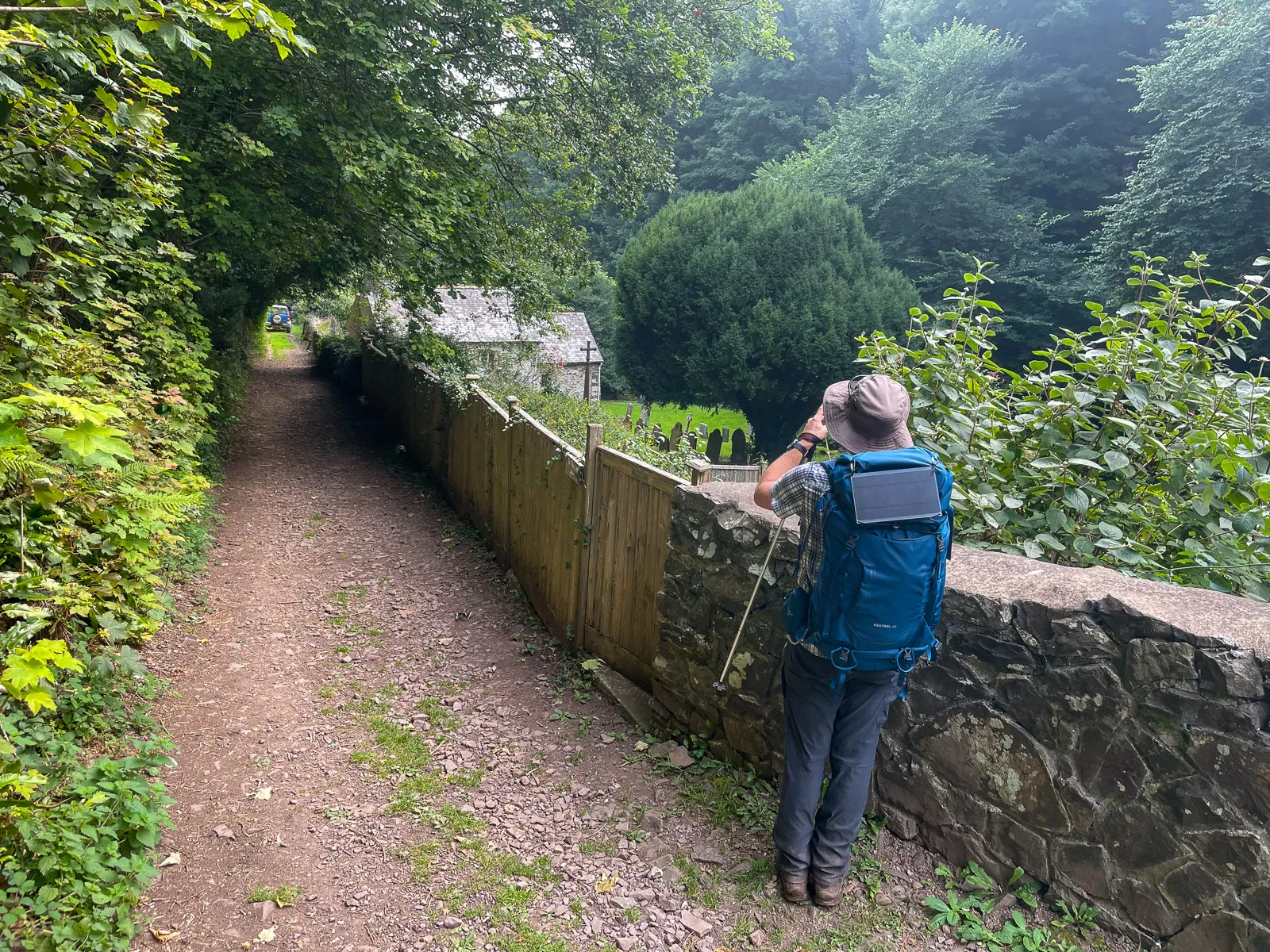 Day 1 · Sun, 5 Sept 2021 · 10:16Culbone
We wandered on from Bossington, stopping at Porlock Weir for a coffee and then heading on towards Lynmouth.
On the route, there were quite a few interesting things to see. As I write this now, I realise I really should have taken more photos!
One of those points of interest was St Beuno’s church, which is famous for being the smallest church in England.
10.9 miinto the day10.9 miof 226.9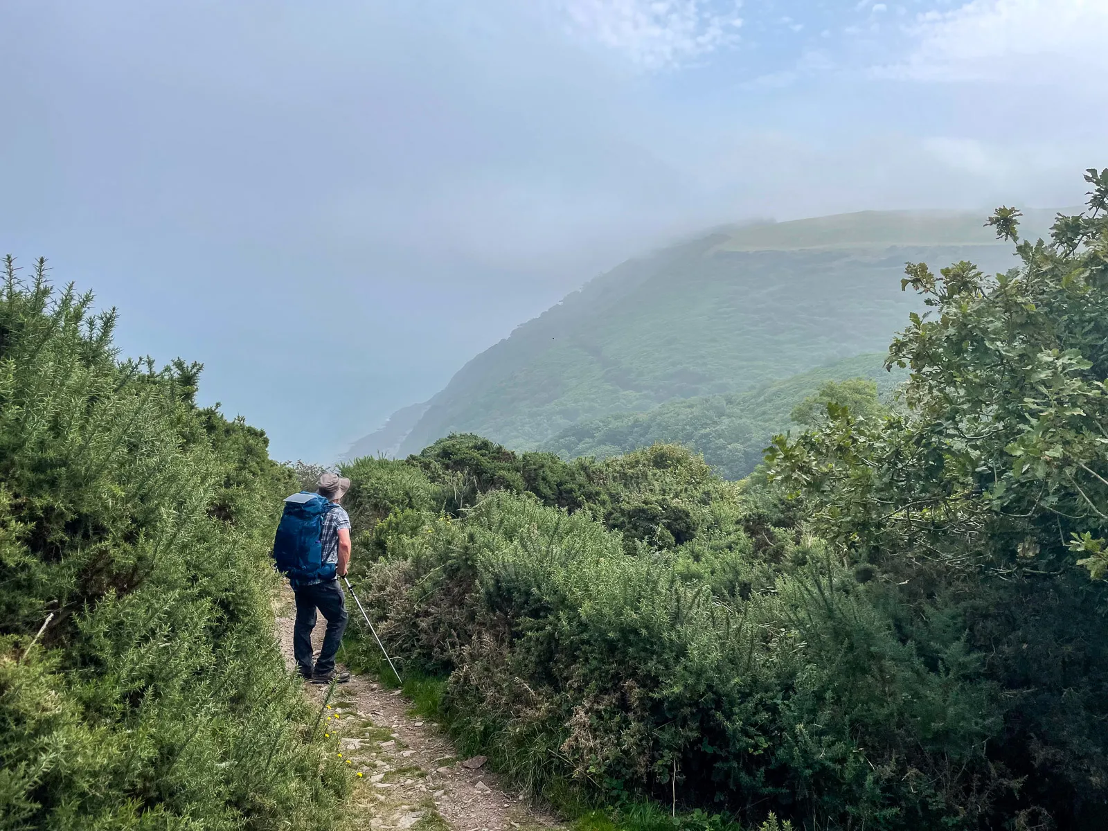 Day 1 · Sun, 5 Sept 2021 · 12:24near Countisbury
Things stayed hilly on the route, with plenty of puff-inducing climbs to do, but the rewards were amazing views in all directions.
16.6 miinto the day16.6 miof 226.9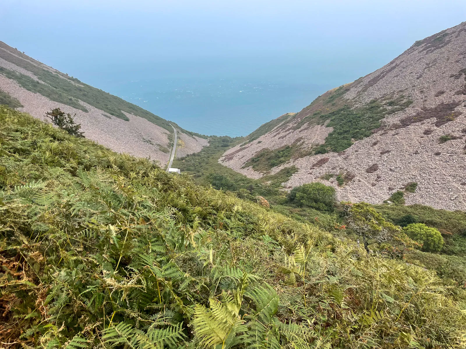 Day 1 · Sun, 5 Sept 2021 · 12:56Countisbury
We reached the valley looking down towards the sea at Foreland Point, with Foreland Bothy just visible in the photo below.
18.3 miinto the day18.3 miof 226.9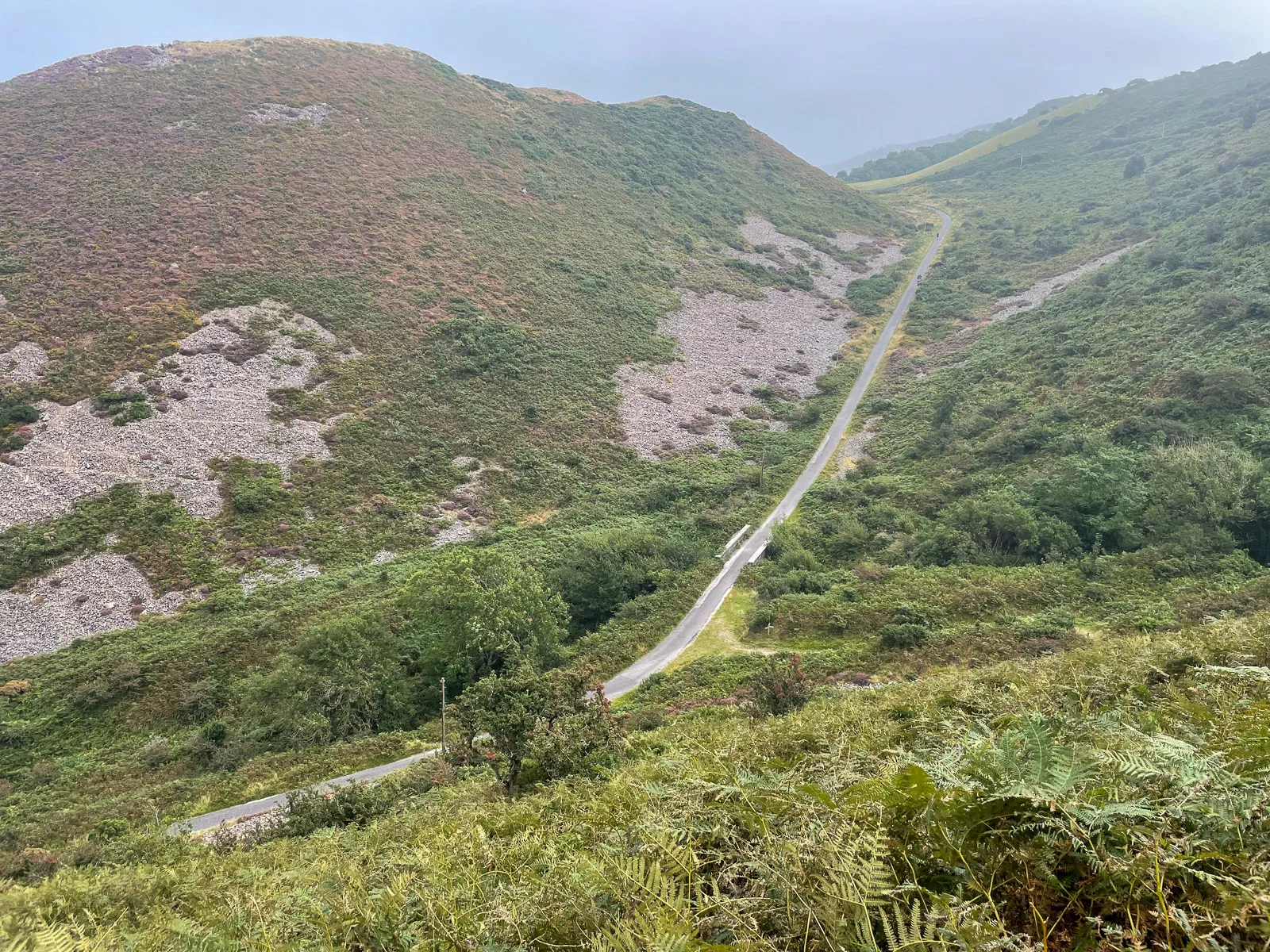 Day 1 · Sun, 5 Sept 2021 · 12:56Countisbury
And looking east, the road we approached on, part of the South West Coast Path.
18.3 miinto the day18.3 miof 226.9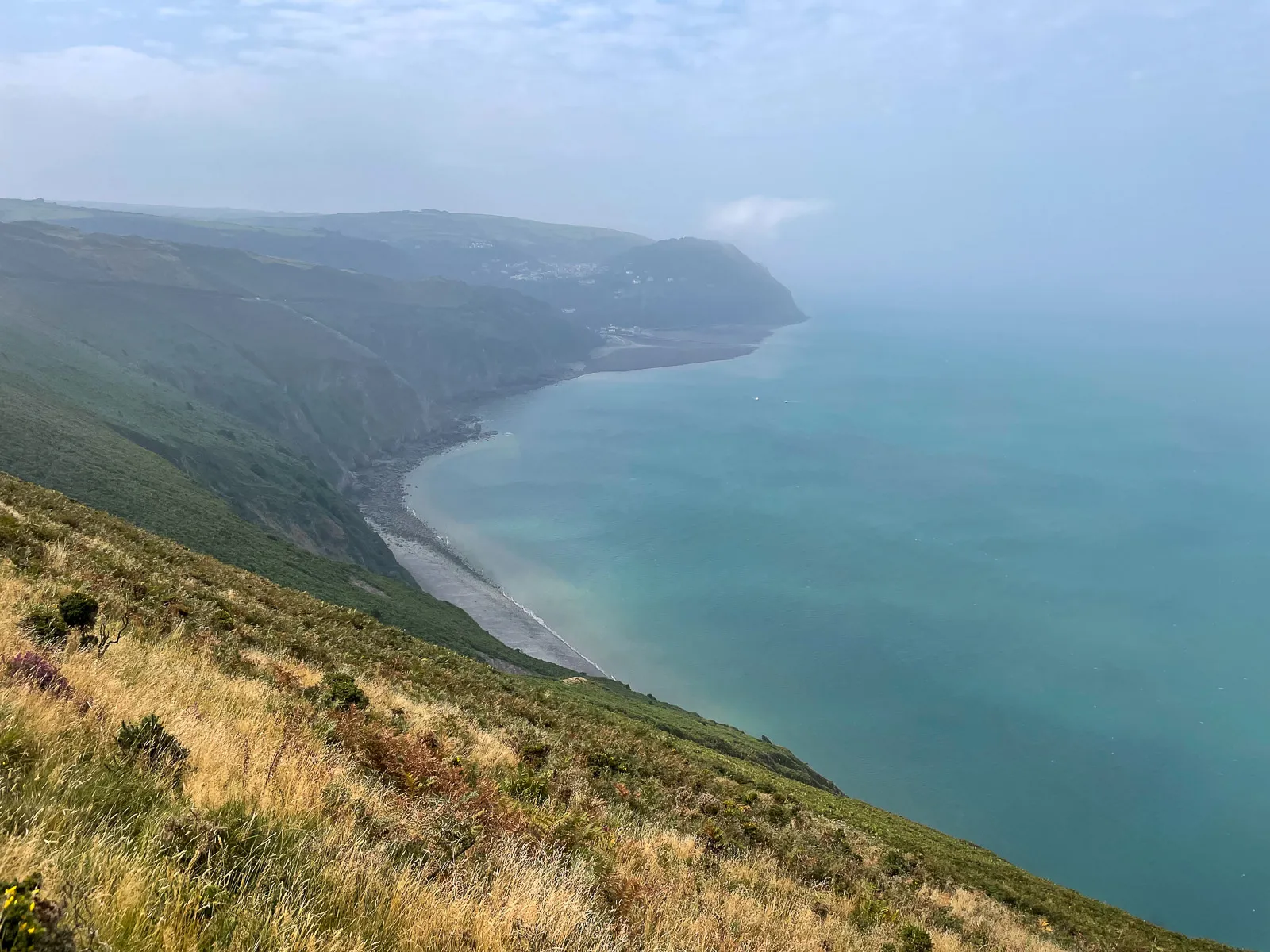 Day 1 · Sun, 5 Sept 2021 · 13:14Countisbury
Round the top of the headland you get impressive views of Lynmouth Bay, down to Sillery Sands Beach closer and Blacksands Beach in the distance
19.0 miinto the day19.0 miof 226.9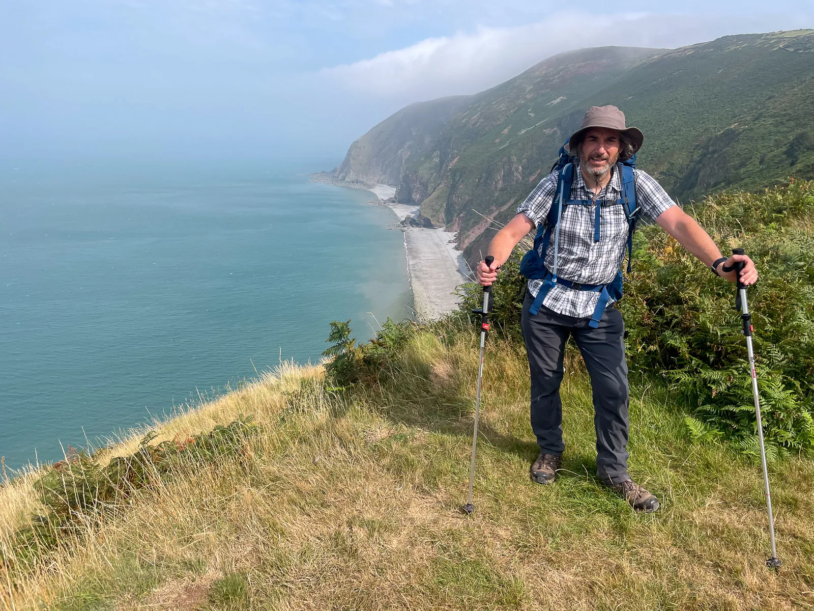 Day 1 · Sun, 5 Sept 2021 · 13:36Lynmouth
And here’s one from Contisbury Hill, looking back towards Sillery Sands Beach.
19.9 miinto the day19.9 miof 226.9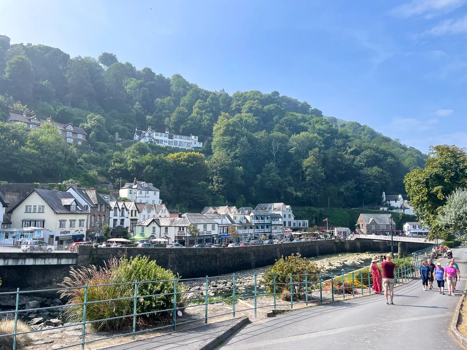 Day 1 · Sun, 5 Sept 2021 · 13:58Lynmouth
Lynmouth! The first real bit of civilisation since Minehead, and where we stopped for some sausage &chips and an ice cream.
Lynton.
20.9 miinto the day20.9 miof 226.9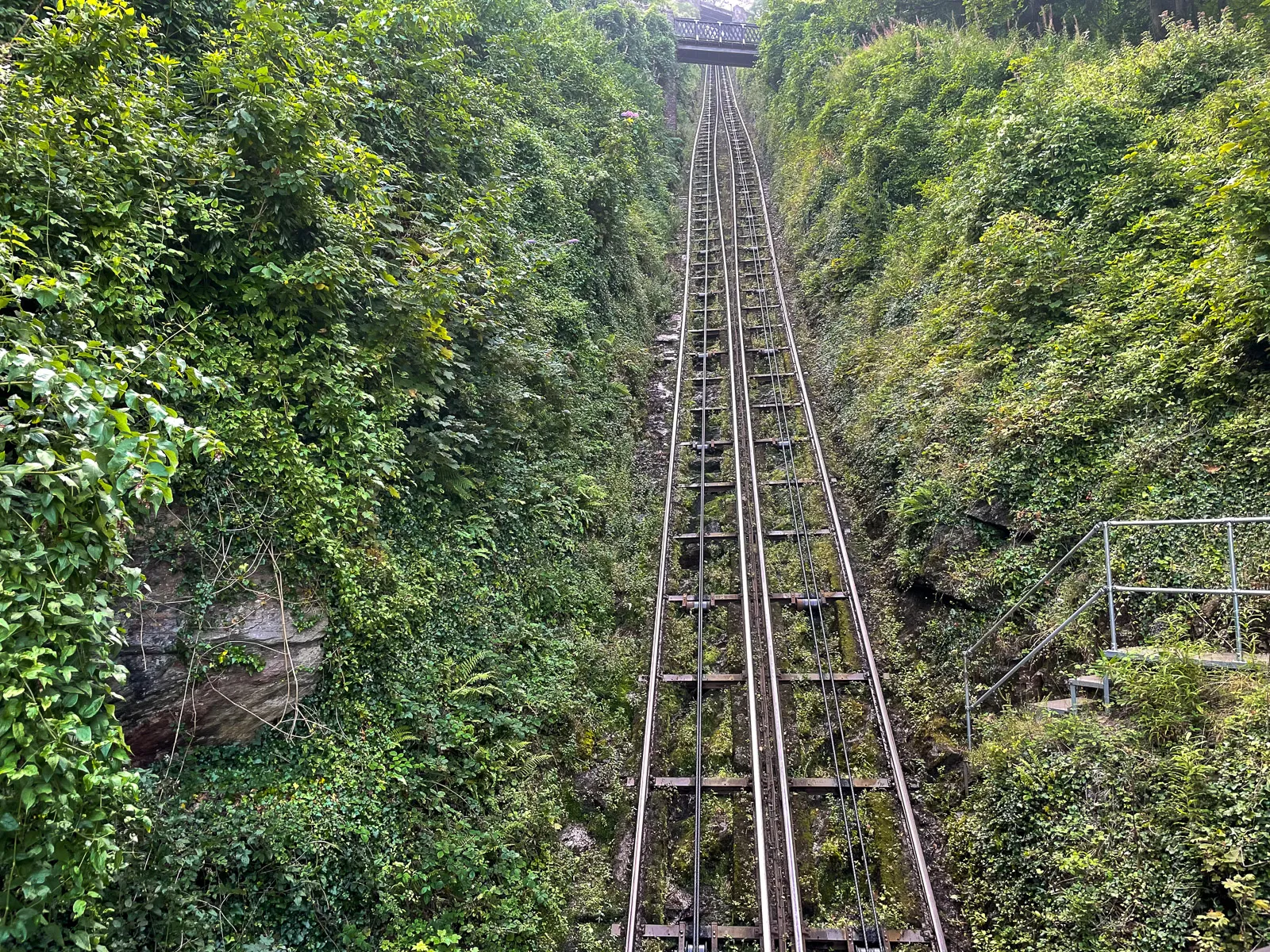 Day 1 · Sun, 5 Sept 2021 · 15:18Lynmouth
Heading out of Lynmouth, you climb the path that zig-zags up the world’s steepest and longest water powered cliff railway. And it certainly felt like it!
A hefty old climb! Notice the point where the tracks spread a little – that’s the half-way point where the trains pass.
21.6 miinto the day21.6 miof 226.9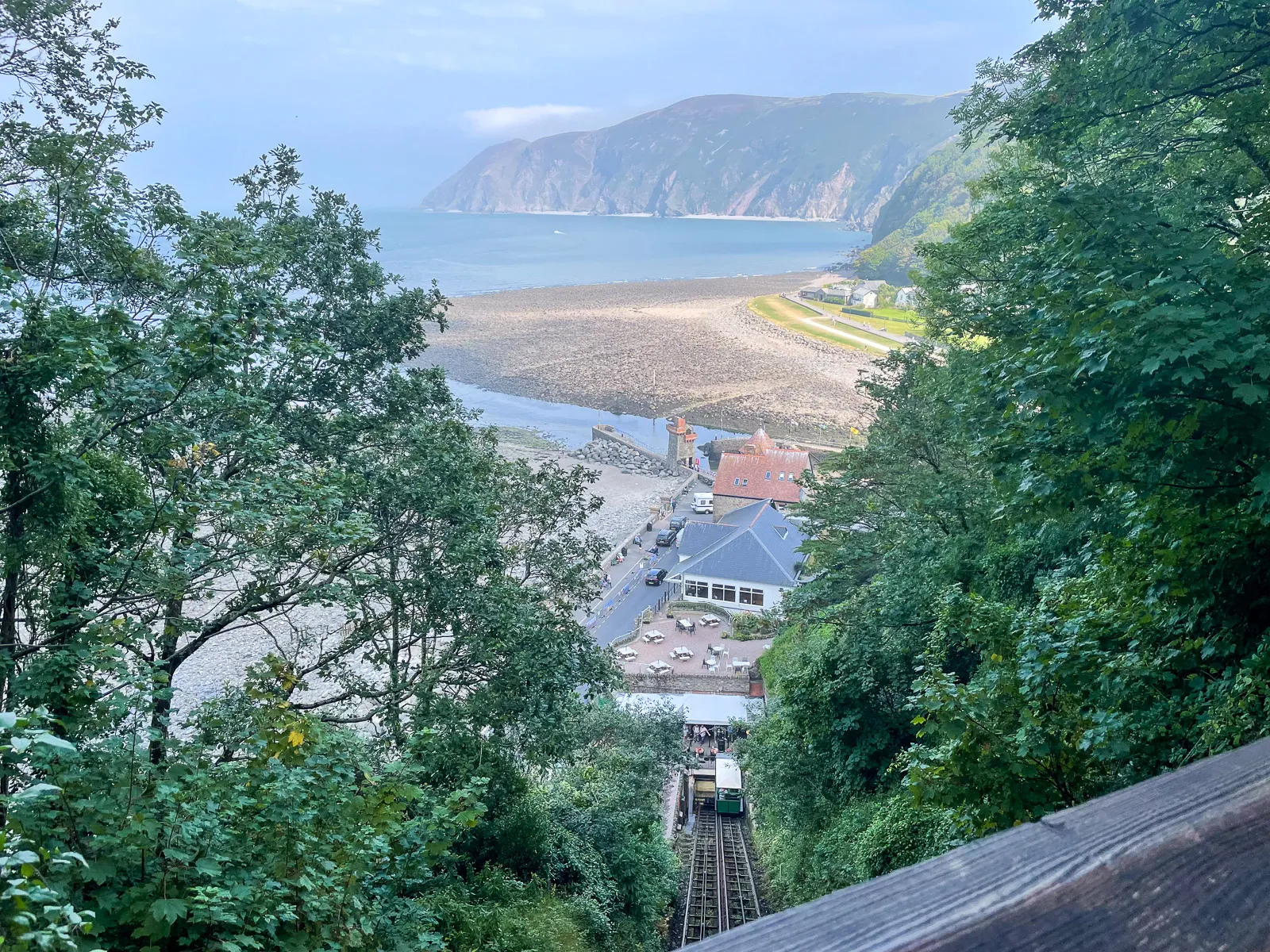 Day 1 · Sun, 5 Sept 2021 · 15:18Lynmouth
Looking back down from half way up, the views of the beach and headland are very impressive… as is the drop down the bottom station!
21.6 miinto the day21.6 miof 226.9


